South Placer
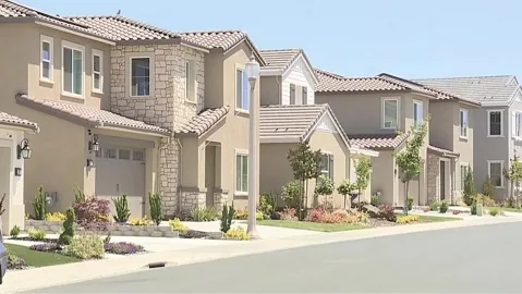
A neighborhood in West Roseville. Photo credit
Incorporated city
Roseville
Start with downtown, Maidu history and the growing west side, then compare the routes, schools and services around the home you like.
Get to know RosevilleChoose your communities
Search by place or region. Add any communities to your list, then compare up to three at a time or bring the whole list into a conversation.
No communities selected yet.
Your choices are saved only in this browser. Select up to three for a side-by-side comparison; your full shortlist can include more.
40 community guides
A neighborhood in West Roseville. Photo credit
Incorporated city
Start with downtown, Maidu history and the growing west side, then compare the routes, schools and services around the home you like.
Get to know Roseville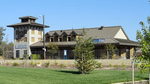
The train station and Chamber of Commerce building in Rocklin. Photo credit
Incorporated city
Quarry Park, Sierra College and neighborhood trails give Rocklin a local life beyond its new-home communities.
Get to know Rocklin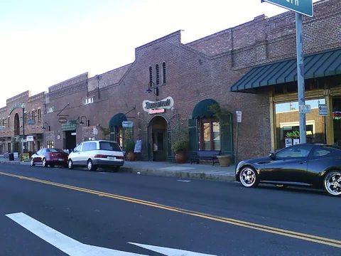
Downtown Lincoln. Photo credit
Incorporated city
Get to know downtown and McBean Park, the Twelve Bridges area and established communities such as Sun City Lincoln Hills.
Get to know Lincoln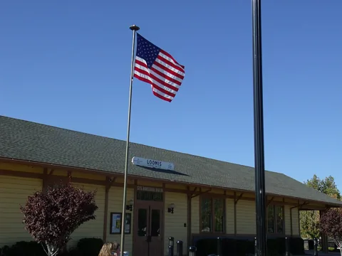
The historic train depot plaza in Loomis. Photo credit
Incorporated town
Taylor Road, the High-Hand fruit shed and nearby Loomis Basin parks offer a starting point for exploring town life and rural properties.
Get to know Loomis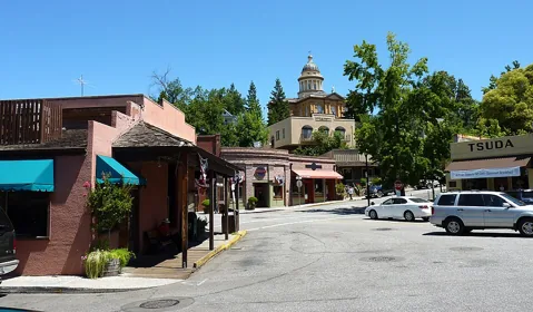
Old Town Auburn. Photo credit
Incorporated city
Auburn brings Gold Rush history, a passenger-rail connection and American River recreation together in a foothill city.
Get to know Auburn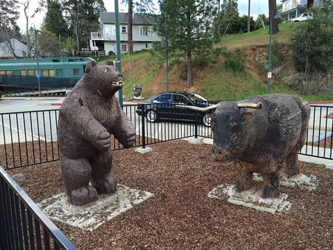
Railroad Street in Colfax. Photo credit
Incorporated city
Colfax brings a working passenger-rail stop, a depot museum and nearby canyon trails into a small foothill city.
Get to know Colfax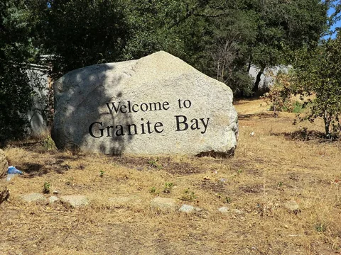
Welcome to Granite Bay. Photo credit
Unincorporated community (CDP)
Folsom Lake access, established neighborhoods and larger parcels make the exact location and ownership costs central to a Granite Bay search.
Get to know Granite Bay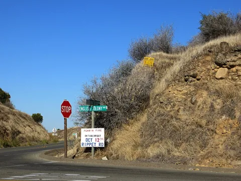
Colony Road in Penryn. Photo credit
Unincorporated community (CDP)
Penryn’s quarry park and local school give the community a clear identity within the Loomis Basin.
Get to know Penryn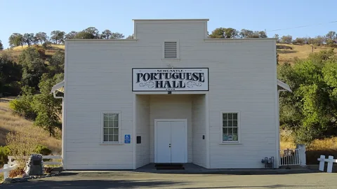
The Portuguese Hall in Newcastle. Photo credit
Unincorporated community (CDP)
Newcastle’s orchard connections and local school give it a distinct identity between the larger foothill communities.
Get to know Newcastle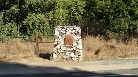
The historic landmark at Ophir. Photo credit
Unincorporated community
Ophir has a Gold Rush identity of its own, a local STEAM academy and a rural setting that rewards a closer look at each property.
Get to know OphirNearby downtown Lincoln. Regional context, not a photo of this community. Photo credit
Unincorporated community (CDP)
Sheridan pairs a local elementary school and community park with the rural landscape of western Placer County.
Get to know Sheridan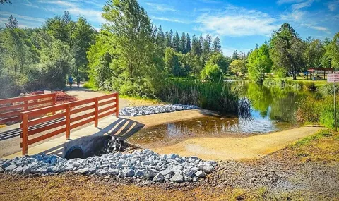
The pond and walking trail at Meadow Vista Park. Photo credit
Unincorporated community (CDP)
Meadow Vista’s park, school campus and equestrian facilities give a foothill home search several practical places to start.
Get to know Meadow VistaNearby Meadow Vista Park. Regional context, not a photo of this community. Photo credit
Unincorporated community
Applegate has a county park and a distinct foothill planning identity, with service details that can change from one property to the next.
Get to know ApplegateNearby Colfax. Regional context, not a photo of this community. Photo credit
Unincorporated community
Weimar has its own foothill anchors: a university campus, forest trails and Weimar Hills School, with a wider daily routine along the I-80 corridor.
Get to know WeimarNearby Old Town Auburn. Regional context, not a photo of this community. Photo credit
Unincorporated community
Bowman’s school and county planning identity offer a more useful starting point than an Auburn mailing address alone.
Get to know Bowman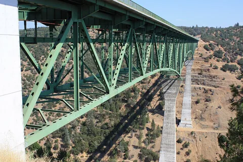
Foresthill Bridge, connecting the Auburn and Foresthill area. Photo credit
Unincorporated community (CDP)
Foresthill offers a town park, Divide history and nearby American River recreation, with a daily routine shaped by the road back toward Auburn.
Get to know Foresthill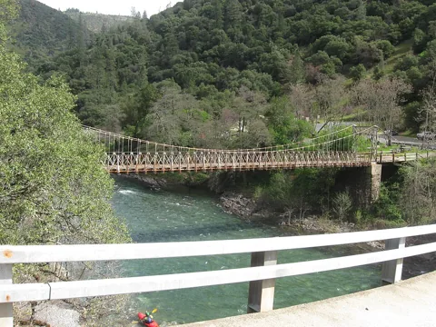
Iowa Hill Bridge. Photo credit
Unincorporated community
Iowa Hill’s mining history and American River canyon setting come with unusually important questions about access and the systems serving a home.
Get to know Iowa Hill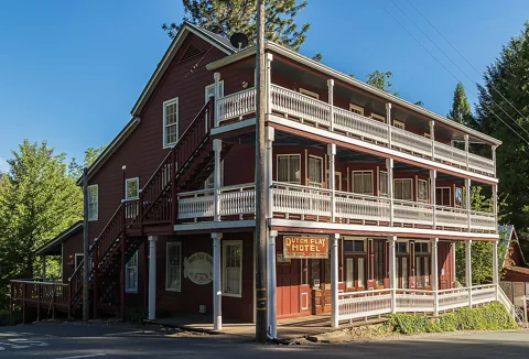
Nearby Dutch Flat. Regional context, not a photo of this community. Photo credit
Unincorporated community (CDP)
Alta is a Sierra-corridor community with Alta-Dutch Flat School at its center and the neighboring Dutch Flat museum telling its regional story.
Get to know AltaThe historic Dutch Flat Hotel. Photo credit
Unincorporated community (CDP)
Dutch Flat has a Main Street museum and a preserved mining-town identity, with Alta and Gold Run closely connected in its regional history.
Get to know Dutch Flat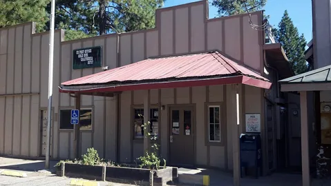
A historic building in Gold Run. Photo credit
Unincorporated community
Gold Run’s hydraulic-mining history is distinct from neighboring Dutch Flat, even though the communities share useful regional resources.
Get to know Gold Run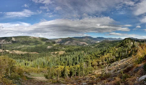
The Sierra landscape at Emigrant Gap, looking toward Lake Spaulding. Photo credit
Unincorporated community
Emigrant Gap combines an emigrant-trail landmark with a mountain location where road conditions and seasonal access shape a visit.
Get to know Emigrant Gap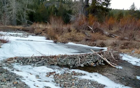
Bear Creek in Alpine Meadows in winter. Photo credit
Unincorporated community
The Alpine base of Palisades Tahoe provides the local anchor, with a winter gondola connection to Olympic Valley and a different home-by-home access picture.
Get to know Alpine Meadows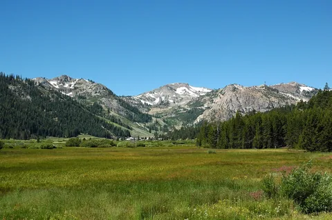
Olympic Meadow and the mountains of Olympic Valley. Photo credit
Unincorporated community
Palisades Tahoe, a village base area and a dedicated public service district shape life in Olympic Valley.
Get to know Olympic Valley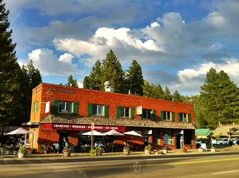
Downtown Kings Beach. Photo credit
Unincorporated community (CDP)
A public beach, an in-town elementary campus and North Tahoe recreation resources give Kings Beach several practical starting points for a move.
Get to know Kings Beach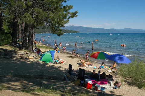
North Tahoe Beach in Tahoe Vista. Photo credit
Unincorporated community (CDP)
A North Shore home base with two distinct outdoor anchors: the forest trails of North Tahoe Regional Park and the lake access at Tahoe Vista Recreation Area.
Get to know Tahoe Vista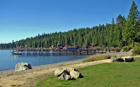
The shoreline at Carnelian Bay. Photo credit
Unincorporated community (CDP)
Patton Landing, paddling and the public shoreline at Carnelian West give this North Shore community a recognizable lakeside center.
Get to know Carnelian Bay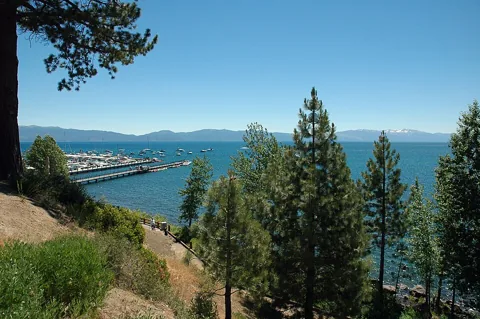
Lake Tahoe viewed from Tahoe City. Photo credit
Unincorporated community
Commons Beach, lakefront community events and a connected trail network make Tahoe City a useful place to explore daily life on the North and West Shores.
Get to know Tahoe City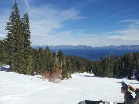
A winter view of Lake Tahoe from Homewood. Photo credit
Unincorporated community
A West Shore community with a ski-resort redevelopment to follow carefully and lake, road and ownership questions that deserve their own visit.
Get to know Homewood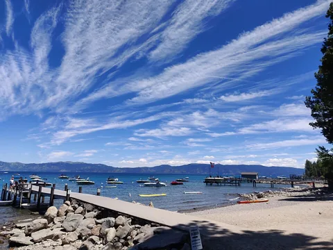
The beach at Tahoma. Photo credit
Unincorporated community (CDP)
Sugar Pine Point State Park and the West Shore landscape define a Tahoma visit, while the Placer/El Dorado boundary changes which property rules apply.
Get to know TahomaColony Road in the surrounding Penryn area. Regional context, not a photo of this community. Photo credit
Unincorporated community
Compare a phased foothill master plan with the facilities, costs and access actually available for the home you are considering.
Get to know Bickford RanchA neighborhood in the wider Roseville area. Regional context, not a photo of this community. Photo credit
Unincorporated community
An emerging community with homes underway and a future university campus: compare what exists today with the longer-term plan.
Get to know Placer OneNearby Old Town Auburn. Regional context, not a photo of this community. Photo credit
Unincorporated community (CDP)
North Auburn has county-community status and its own recreation anchors, even when a home uses an Auburn mailing address.
Get to know North Auburn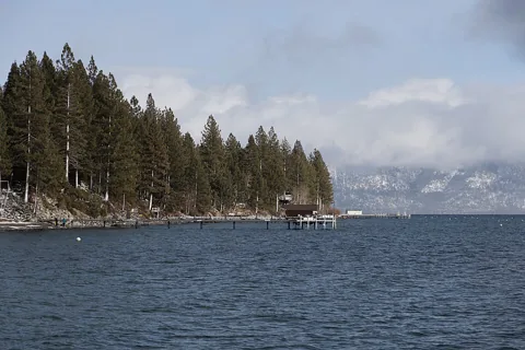
The shoreline at Dollar Point. Photo credit
Unincorporated community (CDP)
Understand Dollar Point Association membership, guest rules and public recreation alternatives before comparing homes by their advertised amenities.
Get to know Dollar PointLake Tahoe viewed from nearby Tahoe City. Regional context, not a photo of this community. Photo credit
Unincorporated community (CDP)
Explore the West Shore around Sunnyside and Kilner Park, with Tahoe City nearby and property-specific shoreline access to understand.
Get to know Sunnyside-Tahoe CityIowa Hill Bridge in the wider foothills region. Regional context, not a photo of this community. Photo credit
Unincorporated community / planning area
Clipper Gap is a county planning-area name with its own local identity, distinct from the mailing address a property may use.
Get to know Clipper Gap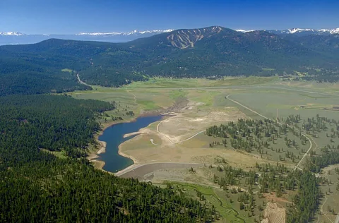
Martis Creek Lake and its surrounding valley. Photo credit
Unincorporated community / planning area
Explore the open space around Waddle Ranch and Elizabethtown Meadows, then compare the individual communities and ownership costs of Martis Valley.
Get to know Martis ValleyA neighborhood in nearby West Roseville. Regional context, not a photo of this community. Photo credit
Unincorporated community / planning area
Separate established rural parcels from planned subdivisions in this unincorporated area beside Roseville.
Get to know Dry Creek / West Placer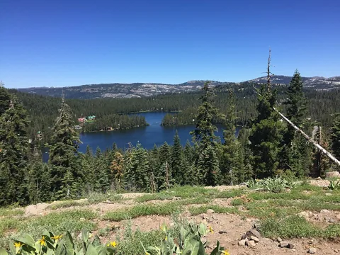
Serene Lakes viewed from Bill and Flora’s Point. Photo credit
Unincorporated community / planning area
Lake Serena, Lake Dulzura and the Royal Gorge landscape give this Donner Summit community a distinct mountain rhythm.
Get to know Serene LakesNearby Serene Lakes. Regional context, not a photo of this community. Photo credit
Unincorporated community (CDP)
A Donner Summit community where school location, winter road access and the Placer/Nevada county boundary belong in the first home-buying conversation.
Get to know KingvaleThe nearby Carnelian Bay shoreline. Regional context, not a photo of this community. Photo credit
Unincorporated community (CDP)
A North Shore community along the SR 28 corridor, with Carnelian Bay shoreline resources nearby and a distinct county planning identity.
Get to know Cedar FlatNo communities match. Try another name or choose all regions.
Community names, postal addresses, city limits and school boundaries do not always match. These guides include all six incorporated cities and towns plus county-listed and additional planning communities. They are starting points, not a parcel-level boundary determination.
Confirm the exact address with the relevant jurisdiction and school district. Explore schools using official information and your household’s needs, rather than a ranking or a promise of enrollment.
Your next move
Tell us which communities interest you, what your days look like, and where you could use a hand.